
Dietrich Butte, ID Weather Cams
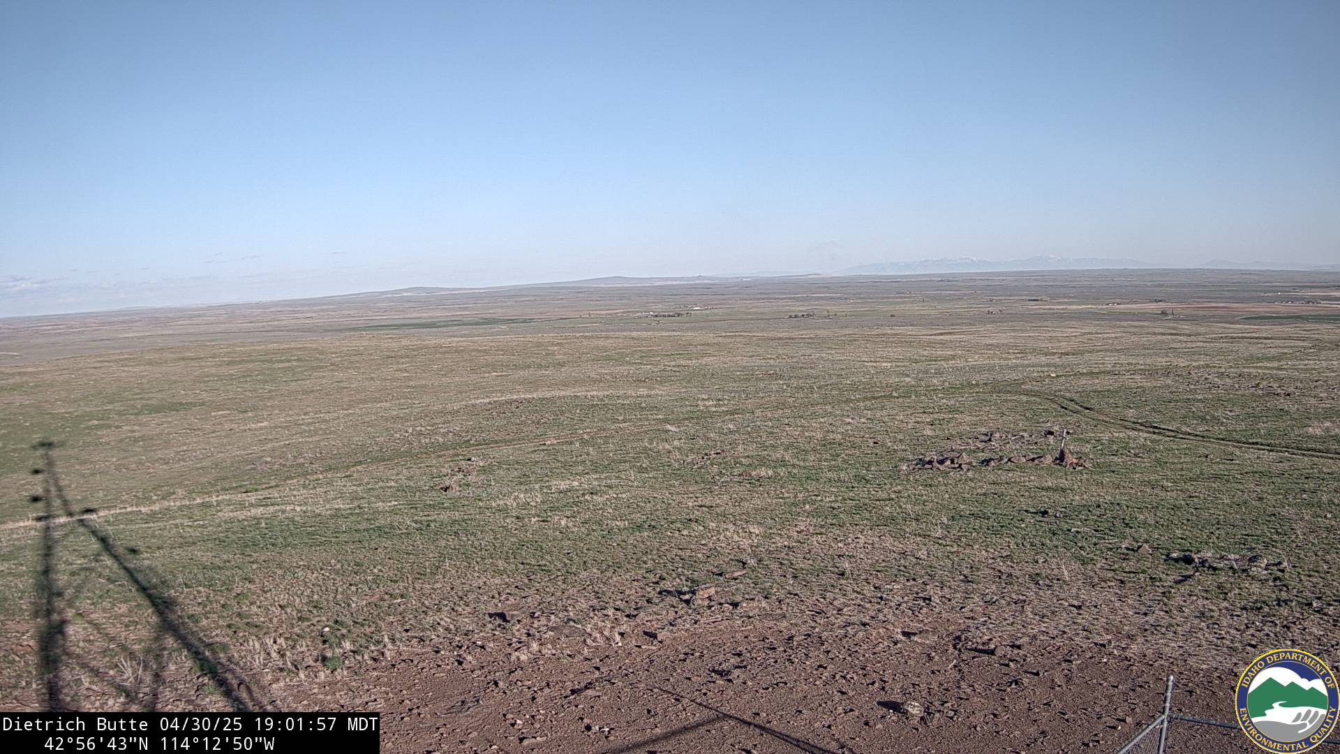
Dietrich Butte, ID Visibility Camera (Lincoln County, facing southeast toward Kimama, ID)
Dietrich Butte, Idaho: A Legacy of Volcanic Origins and Agricultural Transformation
Dietrich Butte, ID Weather Cams. Dietrich Butte, located in Lincoln County, Idaho, is a striking geological feature that has played a significant role in shaping the surrounding landscape. The region’s history is deeply tied to its volcanic origins, early settlement, and the agricultural development that transformed the arid terrain into productive farmland.
Geological Formation and Indigenous Presence
Dietrich Butte is an extinct volcano, part of the broader volcanic history of southern Idaho. The butte’s formation dates back thousands of years, when volcanic activity shaped the rugged terrain of the Snake River Plain. The surrounding area was home to indigenous tribes, including the Shoshone and Bannock peoples, who relied on the land for hunting and gathering. Evidence of their presence can be found in petroglyphs and artifacts scattered throughout the region.
Early Settlement and the Carey Act
The town of Dietrich, situated near Dietrich Butte, was established in 1909 as part of the Carey Act, a federal initiative designed to promote irrigation and settlement in the western United States. The Idaho Irrigation Company played a crucial role in developing the Dietrich Tract, which included the town and surrounding farmland. The company constructed canals to bring water from Magic Reservoir, hoping to attract settlers to the area.
Challenges and Agricultural Development
Despite initial enthusiasm, early settlers faced significant challenges due to the region’s sandy soil and limited water supply. Many struggled to irrigate their land effectively, leading to periods of economic hardship. However, the introduction of sprinkler irrigation technology in the mid-20th century marked a turning point for the area. With improved irrigation methods, farming became more viable, allowing crops such as wheat, barley, and potatoes to thrive.
The Growth of Dietrich and Infrastructure Improvements
Dietrich was incorporated in 1913, but legal complications led to the town losing its official status until it was successfully reincorporated in 1946. Over the years, infrastructure improvements, including street paving in 1957 and the establishment of a community drinking water system in 1994, contributed to the town’s stability and growth. Today, Dietrich remains a small but resilient community, with agriculture continuing to be its primary industry.
Historical Maps and Land Use
Historical maps of Dietrich provide valuable insights into the town’s development and land use patterns. These maps highlight the transformation of the region from open desert to structured farmland, showcasing the impact of irrigation and settlement efforts. The town’s layout reflects its agricultural roots, with farms and ranches dominating the landscape.
Conclusion
Dietrich Butte and the surrounding area have experienced cycles of geological change, settlement, and agricultural transformation. From its volcanic origins to its role in shaping the town of Dietrich, the butte remains a significant landmark in Lincoln County. The resilience of the people who settled in the region, combined with advancements in irrigation technology, has ensured the area’s continued prosperity.
For more information, visit the official Dietrich, ID website.